
Kathmandu, December 17
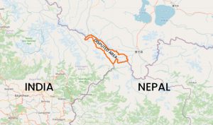
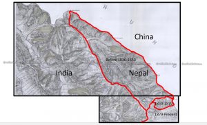
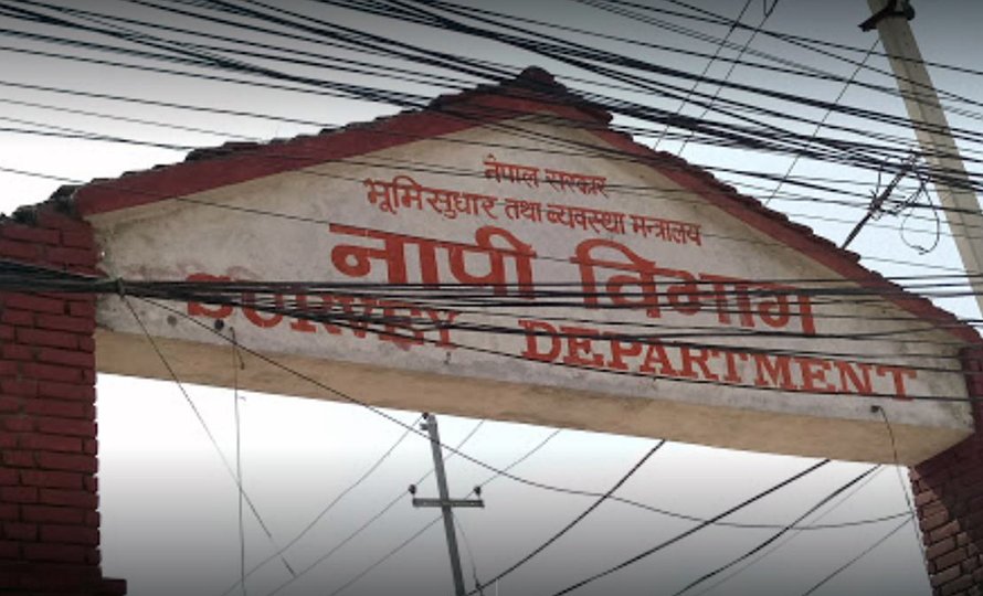
The Survey Department under the government says it is currently preparing a new map of Nepal, incorporating the disputed land of Kalapani region, up to Limpiyadhura, which Nepal claims to be its northwestern frontier.
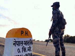
The move follows the publication of India’s new political map last month which identifies Kalapani as a part of India. As the move triggered protests in Nepal, the government directed the department to publish a new map that could oppose the Indian claim. Accordingly, the department is preparing the map, informs its information officer Damodar Dhakal.
“We have received the government’s directive, hence we are implementing it,” he says.
Another official says the department soon will be ready to provide the map to the government on the date it demands.
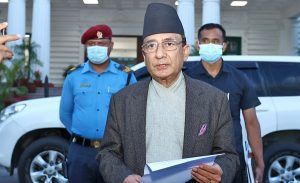
Just law week, Minister for Land Management Padma Kumari Aryal had told lawmakers in a House committee meeting that the government would soon publish a corrected map of the country.