Larjung offers an opportunity to get close, literally and metaphorically, to the natural wonders of the Annapurna region.
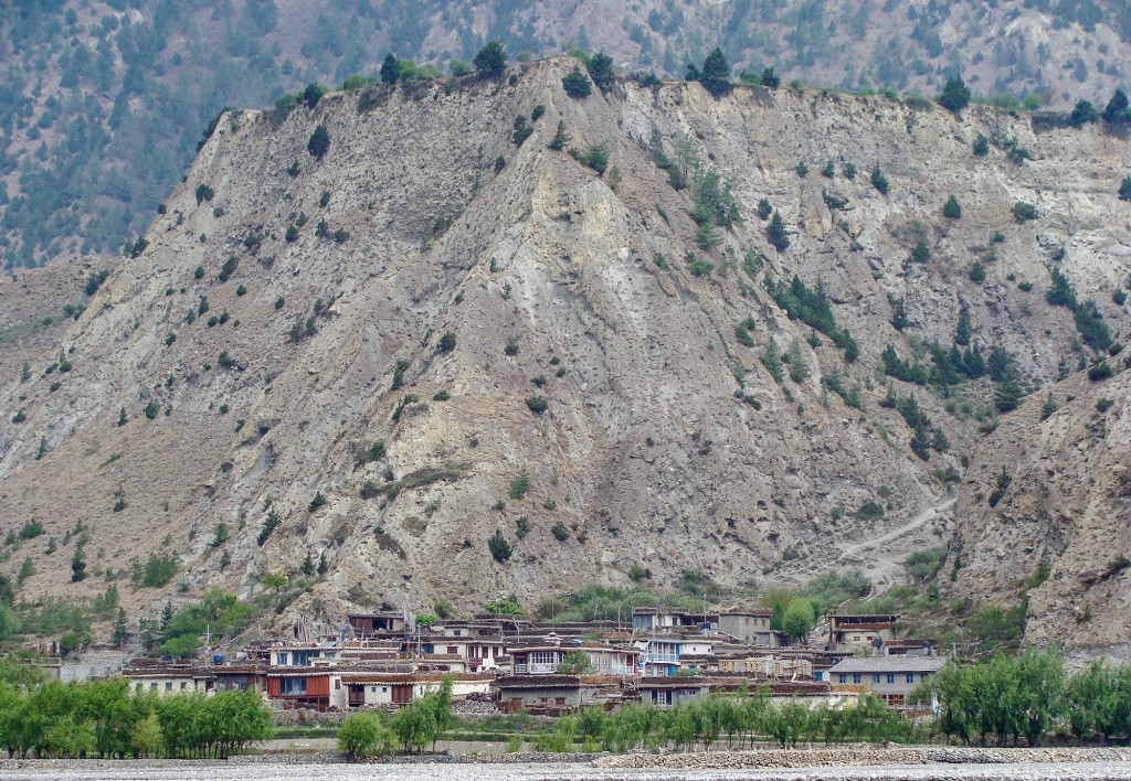
The mountains on either side of Larjung, in Thak Khola, seem to be inching closer to it, as if at any moment they might slam shut, cutting off Thak Khola from the rest of the world. You feel puny standing at the bottom of what is one of the deepest gorges in the world, and looking at one of the highest mountains in the world. The immensity of the landscape around you evokes a sense of reverence for nature.
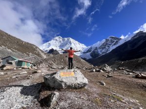
Immediately behind Larjung, the Dhaulagiri Icefall is poised like an icy deluge arrested by its own viscosity. Behind it is the even more stupendous hulk of Dhaulagiri, the seventh-highest mountain. Flanking the village on the east is the wide, stony bed of the Kali Gandaki River. The southern horizon is almost dammed by a gigantic mountain face, appearing like an inclined open book. Look north and your eyes follow the narrow gorge, with the Kali Gandaki a sliver weaving sinuously through it, and the mind conjures images of the sequestered Upper Mustang.

Larjung is a threshold in many ways. It once was the southernmost point of the Guge Kingdom, which stretched from western Tibet to northern Ladakh in the tenth century. Besides being a former frontier, Larjung is also a a repository where culture and history remain even as they have been eroded mercilessly by the road in many places in Thak Khola. Near the eastern end of Larjung stands the ancient Makhi Lhakhang. It is the southernmost Tibetan Buddhist monastery in the Thak Khola. Barely twenty minutes north of Larjung is the village of Kobang. The traditional wooden houses there were torn down to make way for the road. It is a reminder of the price of development.
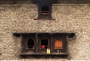
Although Larjung, too, has undergone significant changes, it has also retained much. Wood is still stacked neatly, as it is in many other Thakali villages, along the edge of roofs. Stocking wood is part tradition and part precaution against an abnormally severe winter. Another quaint feature of the houses is the notched tree trunks that serve as ladders. The ladders take you to rammed earth roofs, in itself a cultural heritage, since entire neighborhoods join in thumping the mud to harden it.

In a way, the salient features of Thak Khola, from its arid and mountainous terrain to its architecture to its unique history are represented in Larjung. Even the novelty that is the new road passes right through the village, a lifeline or an eyesore, whichever way you see it. As you see a vehicle go by in Larjung, it feels like a typical village beside a road, degrading into a characterless strip. You walk a hundred meters toward the river and the scenery makes you feel you are somewhere beyond the reach of the outside world.
A place like Larjung, since it has changed drastically (SUV horns ripping the silence where once the tinkle of mule trains would have chimed) is redolent of the past as well as a reminder of the unpleasant truth that change is the only constant.
But as you stand in the morning chill on the edge of the river, swirls of mist rising and thinning in the gorge, the mountains bathed in golden light, you notice the beauty of change. The mountains, forests, river and the village nestled in one corner are all in a place where there was once a sea.
Larjung is like a repository of relicts from different eras. One of these is the saligram, an ammonite fossil dating back to the Jurassic Age. For Hindus, it is more than a fossil; they revere it as a manifestation of Vishnu. The river bed along Larjung has plenty of these, but it requires luck and some dedication to find one.
Another attraction in Larjung is the caves on the cliff face near the Makhi Lhakhang temple. Although much smaller than the caves discovered in Upper Mustang, the caves in Larjung are no less intriguing.
There is also the Guru Sangpo Cave, believed to be one of the places where Padmasambhava meditated.
The Makhi Lhakhang is on the way to these caves. Kobang, a short walk north of Larjung, is also worth a visit.
A short hike to the summit of the hills across the river from Larjung yields a stunning view of Dhaulagiri and the surrounding peaks. The hills there are also rich in bird life. Idyllic meadows, sometimes with a lone horse grazing in it, are scattered on the edge of the river. An arduous but incomparably exhilarating trip can also be made from Larjung to the Dhaulagiri Icefall.
Checklist
Getting There

Trekking is the most popular way of getting to Larjung, whether you walk up to it from Nayapul (four to five days) or fly into Jomsom and then walk down via Marpha. You can also ride jeeps or buses up from Tatopani. There are numerous attractions on the trail to Larjung from Nayapul to make you forego the convenience and time-saving modes of planes and jeeps. These include the hot springs at Tatopani, the wondrous cascade that is Rupse Chhahara, the almost primeval-looking, tiny Titi Lake and the old trail that looks like it was carved – it was actually blasted – out of the cliff face and suspension bridges across dizzying chasms.
The newest option is to take to the road in a bus or your own motorbike or SUV. That mode of transportation is sure to make your hair stand on end. It will also get you to Larjung from Pokhara in a single day.
Places to Stay

For its homely ambiance, the Larjung Lodge is hard to beat. More upscale accommodations are available at the Lodge Thasang Village.
Eat

It can be taken for granted that the meals, especially dal-bhat, are sumptuous in Thak Khola. So every lodge is worth a try. Larjung also has the usual repertoire of apple brandy, dried apples and apple pie that some people become addicted to while in Thak Khola.
Must Haves

Mustang’s notorious mid-morning winds call for a pair of sunglasses. Carry sunscreen to avoid getting a painful souvenir from the region’s intense sun.
Permits are required for trekking in the Annapurna Conservation Area. These are available in Kathmandu as well as in the ACAP office in Ghasa. But it always better to get it in Kathmandu, for you need to pay double (so it is said) if you get the permit in the offices inside the conservation area. Foreigners also require a Trekking Information Management System (TIMS) card, which can be had from the Trekking Agencies Association of Nepal (TAAN) office and branches, Nepal Tourism Board office in Kathmandu, as well as in Pokhara.


