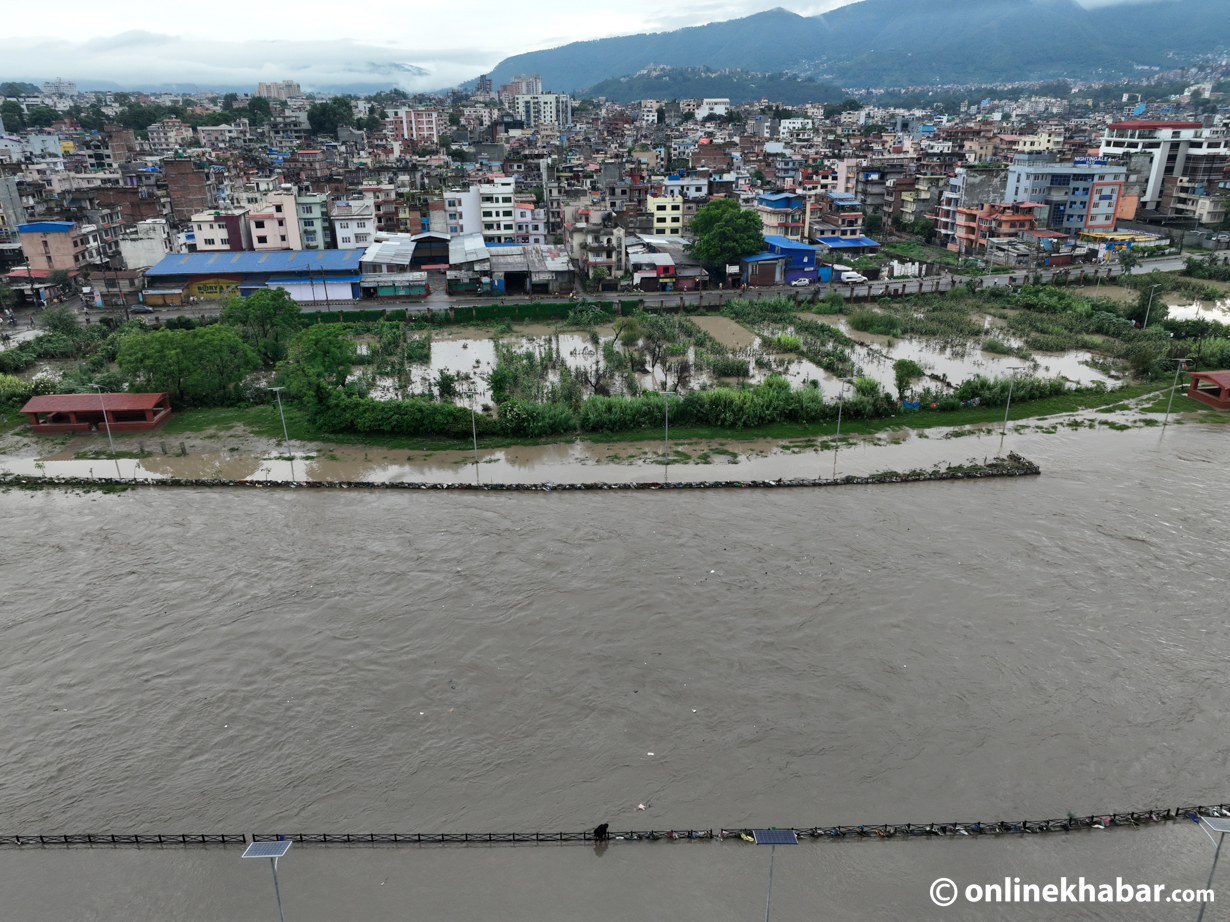
Nepal is beautiful with its breathtaking landscapes and towering peaks. The collision of the Indian and Eurasian plates has put us in one of the seismically active zones of our planet. Nepal Himalaya is home to a variety of hazards including intense monsoon precipitation, earthquakes, landslides, floods and Glacial Lake Outburst Floods (GLOFs) as a product of its unique topography and climate. The origin of the Himalayas about 50.5 million years ago, is one of the powerful tectonic forces that continue to shape our terrain until present times Upreti (1999).
These folded mountains which were formed by these tectonic forces, also left us with younger sedimentary rocks, broken rock masses and river valleys. The continued weathering of rocks weakened the terrain contributing to the present profile of hazards, which are further degrading due to incompetent human activities, chemical changes, and intense monsoon rainfall together to create disasters. This idealizes the need to take on the initiatives of early action and effective disaster planning during the monsoon in Nepal.
The early action technique involves taking anticipatory measures based on forecasts and predictions. For example, in Nepal, when the Department of Hydrology and Meteorology (DHM) forecasts an extreme weather event, which they publish on the website through bulletins, it provides a crucial window to act for relevant stakeholders in the government and community. Disaster preparedness involves more than just keeping an emergency kit on hand.
It also involves comprehending complex geological hazards, creating detailed strategies, and inspiring a culture of readiness all over society. This requires carrying out frequent simulation drills and training exercises, creating emergency response plans, gathering necessary supplies, and identifying high-risk areas. Therefore, localized early action with flexible triggers and thresholds that prioritise indigenous knowledge, community engagements and local government leadership; is needed to successfully implement early action in Nepal’s diverse social and geological context.
Recent projects have demonstrated that integration between scientific research and local knowledge creates sustainable solutions. For instance, in a European Union (EU) funded Pratibaddha project in Rasuwa and Sindhupalchowk, Nepal, community-based disaster management committees have taken ownership of risk mapping procedures combining the traditional practices with geological data. The community members are trained to interpret weather forecasts and geological anomalies for making informed early action decisions.
Moreover, the strengthening of local government where ward disaster management committees integrate community-based early warnings through the Local emergency operation centre at Palika has not only enhanced disaster preparedness but has also strengthened the social contract between citizens and local authorities.
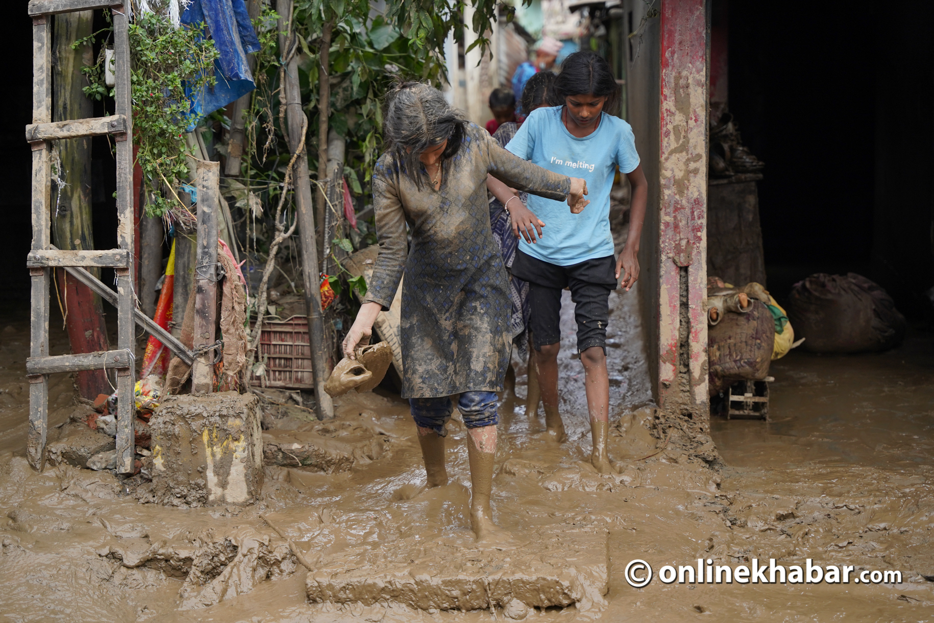
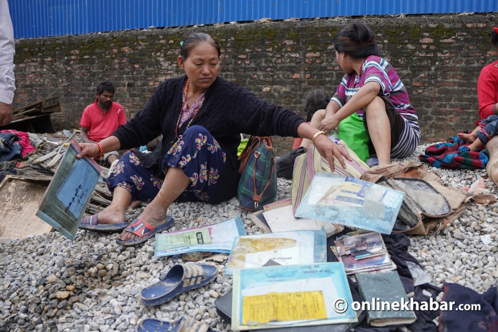
As a result, communities receive technical data and identify vulnerable areas, and local leaders use scientific forecasts to activate c early warning-early evacuation. In 2023, with the support from Save the Children and facilitation through EU funded Pratibaddha project, 372 HHs received some form of early action support, and 198 households evacuated to safer locations. Additionally, 119 households (74 in Barabise, 31 in Bhotekoshi, and 14 in Uttargaya) evacuated to safe areas or temporary shelters using the materials distributed in early September this year.
The application of impact-based forecasting by the Department of Hydrology and Meteorology (DHM) is one significant development. This approach goes beyond anticipating weather occurrences; it forecasts their potential impacts on specific communities and critical infrastructure. Moreover, it empowers community people as “sensors” who report the local geological, environmental and meteorological conditions to the forecasters and LG decision-makers.
The potential of satellite remote sensing to improve our knowledge of hazards was investigated by Tralli et al., in 2005. Satellite remote sensing facilitates thorough assessments by offering continuous and integrated geomorphological data, which aids in planning and prioritizing disaster management in addition to serving as an assist tool for decision-making for community preparedness, slope stabilization, and road designs throughout Nepal.
Satellite-based assessments are crucial in high-risk areas where community/expert assessment on the ground poses a risk to the assessment team, especially in the context of evolving hazards (E.g. Active landslide zone triggered by monsoon/earthquake). It is crucial to pay attention to the escape routes. An extensive evaluation of the road segments that could function as escape routes is essential because it helps identify regions that are susceptible to damage and slope failures. Since open spaces can be used as makeshift shelters during emergencies, it is equally crucial to upgrade the existing critical within the community.
While these innovations hold great potential, the reality on the ground remains challenging. Even while recognizing the importance of preparedness and quick response, there are still several obstacles in their manifestation such as lack of resources, institutional and policy gaps, accessibility, and sociocultural impediments. An integrated disaster management that embeds early action as complementary to a preparedness system is thus required to guarantee the ability of the community to stay resilient in the face of cascading and compounding disasters.
In conclusion, Nepal’s experience of disaster management consists of both challenge and hopefulness. Although there are significant risks associated with our geological terrain, it also creates an opportunity to be leaders in early warning systems, preparedness and early action. Sufficient funding in scientific research, technological advancement, and digitalisation but also significant investments in understanding and engaging at-risk communities are gateways for safety in this changing climate. Although there is still a long way to go, every hazard we halt from turning into a disaster by taking prompt actions brings us one step closer to building a safe and resilient Nepal.


